Cycling Route Planner & Estimator
Ride Summary
Route Advice:
- • Check Street View for bike lanes before riding.
- • Download offline maps if signal is poor.
- • Avoid highways by selecting "Bicycle" mode explicitly.
You’re ready for a ride. You’ve got your helmet, your bike is tuned up, and you want to hit the trails or find a quiet backroad instead of dodging traffic on the highway. But staring at a blank map can be paralyzing. Where do the safe paths go? How far is too far for your current fitness level? Google Maps is more than just a tool for driving; it’s a powerful, free digital navigation system that specializes in finding optimal travel paths for various modes of transport, including cycling. While most people use it for cars, its cycling mode has evolved significantly, offering elevation data, turn-by-turn voice guidance, and even offline capabilities. If you know how to tweak a few settings, you can stop guessing and start riding with confidence.
Why Choose Google Maps for Cycling?
Before we get into the clicks and taps, let’s talk about why this specific app is worth your time compared to dedicated cycling apps like Strava or Komoot. It comes down to accessibility and integration. You likely already have Google Maps installed on your phone. It doesn’t require a separate subscription (unless you want premium features from competitors), and it integrates seamlessly with Android Auto or Apple CarPlay if you ever need to navigate to the trailhead by car first.
The biggest advantage is the real-time data. Google Maps pulls information from millions of users. If a road is closed for construction or a popular park path is flooded, the routing algorithm often updates faster than static maps. For cyclists, this means avoiding surprises. Plus, the interface is intuitive. You don’t need to learn a new UI. If you can search for a coffee shop, you can plan a 50-mile loop.
Setting Up Your Cycling Profile
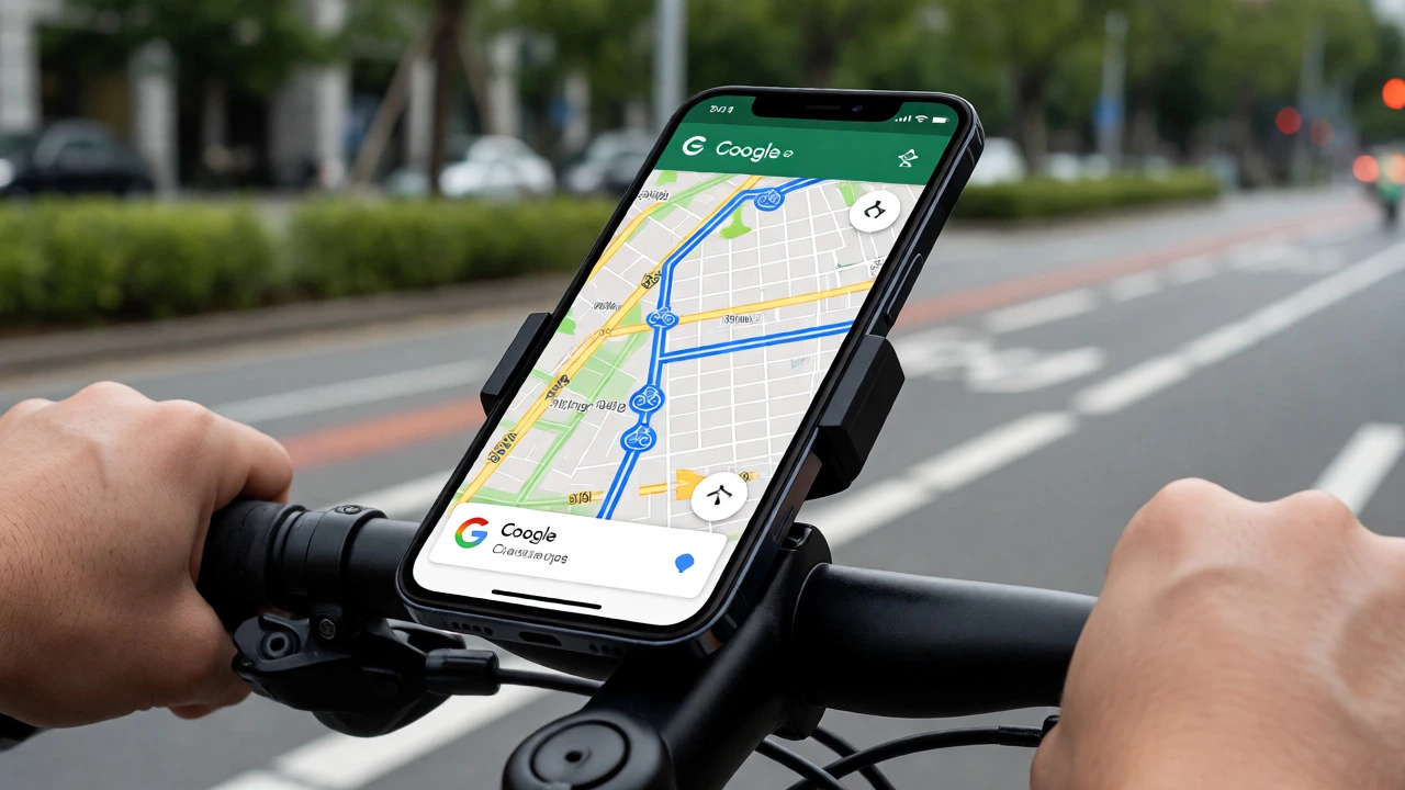
Here is where most beginners make their first mistake: they stick with the default "Driving" mode. Driving routes prioritize speed and major roads. Cycling routes prioritize safety and bike lanes. To fix this, open the app and enter your starting point and destination. Before hitting "Go," look at the icons above the route options. Tap the Bicycle icon.
Once you switch to cycling mode, Google Maps recalculates the path. It will try to keep you off highways and onto streets with bike lanes or lower speed limits. But there’s more. If you are using an Android device, you can customize your profile further in the settings under "Navigation settings." You can choose to avoid highways entirely, which is crucial because some bike paths run parallel to busy interstates but cross them awkwardly. On iOS, the options are slightly more limited within the native app, but the core routing logic remains robust.
Finding Dedicated Bike Paths vs. Road Riding
Not all cycling is the same. Are you training for a triathlon on smooth asphalt? Or are you looking for a leisurely cruise on a paved greenway? Google Maps distinguishes between these, but you have to look closely.
- Dedicated Bike Lanes: These are marked with a blue line on the map in many cities. They are physically separated from car traffic. This is the safest option for beginners or urban commuting.
- Shared Roads (Sharrows): Look for a symbol of a bike with two arrows on the road surface in the map view. This means you share the lane with cars. Use caution here.
- Parks and Trails: Sometimes, the fastest route goes through a park. Check the surface type. Some trails are gravel or dirt, which might ruin a road bike’s tires if you aren't prepared.
A pro tip: Zoom in close on the suggested route. If you see a long stretch along a major avenue without a visible bike lane, tap the route overview button (the little square with lines) to see turn-by-turn instructions. If it says "Merge left" or "Use shoulder," you know it’s a road ride. If it says "Continue on Trail," you’re good.
Mastering Elevation and Distance
Distance is easy to read, but elevation is where rides get hard. A 10-mile flat ride is completely different from a 10-mile hilly ride. In the standard Google Maps interface, elevation data isn’t always front-and-center like it is in specialized apps, but you can access it.
On Android, when you select a cycling route, scroll down below the estimated time and distance. You’ll often see a small graph or text indicating "Elevated" or showing total ascent in feet or meters. On iPhone, this feature is sometimes hidden unless you click into the detailed step-by-step list. If the elevation gain looks steep, consider breaking the ride into two parts or checking reviews from other cyclists who have ridden that specific segment.
| Feature | Driving Mode | Walking Mode | Cycling Mode |
|---|---|---|---|
| Primary Focus | Speed & Fuel Efficiency | Shortest Path / Pedestrian Safety | Safety & Bike Infrastructure |
| Road Types Avoided | None (uses all roads) | Highways & Fast Roads | Highways & Heavy Traffic Streets |
| Turn Instructions | Lane Guidance | Landmarks & Sidewalks | Lane Position & Bike Lanes |
| Best For | Cross-country trips | Last-mile connectivity | Urban commuting & Training |
Creating Custom Loops Without a Destination
This is the game-changer for cyclists who just want to ride for an hour or cover 20 miles without caring exactly where they end up. Standard navigation requires a start and an end. But what if you want a loop?
Currently, Google Maps doesn’t have a native "Create Loop" button like Strava or MapMyRide. However, you can hack it. Start by setting your home as the starting point. Then, set a destination that is roughly half the distance you want to ride. Once the route appears, drag the midpoint dot on the map. Move it around until the total distance matches your goal. This forces the algorithm to create a path that hits your desired length. It takes a few tries, but once you lock in a distance, you can save that route.
Alternatively, use the "Explore" feature. Search for nearby parks or landmarks, then add them as stops. Adding multiple stops allows you to build a custom itinerary. Tap the three dots next to your destination and select "Add stop." Add three or four points that form a rough circle around your start location. The app will connect them sequentially. This method gives you more control over the scenery and terrain.
Saving Routes and Going Offline
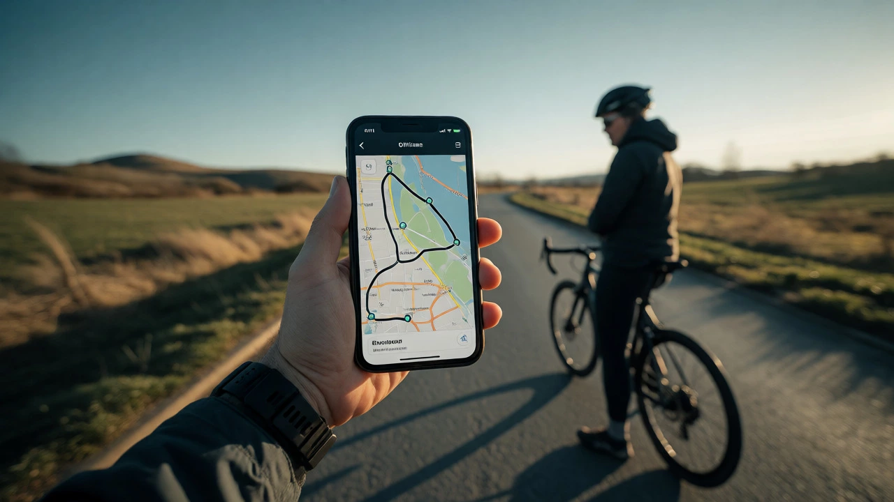
Nothing kills the vibe of a ride like losing signal in a rural area. If you’re planning a route in the countryside or a large national park, you must download the map beforehand.
- Search for the general area you plan to ride (e.g., "Golden Gate Park").
- Tap the name of the place at the bottom of the screen.
- Scroll down and tap "Download."
- Select the size of the area you want to save. Make sure it covers your entire planned route.
Once downloaded, the map works without internet. Voice navigation still works because the audio files are stored locally. However, real-time traffic updates won’t appear, so rely on your pre-planned route rather than dynamic rerouting. To save a specific route for future use, tap the "Save" icon (bookmark) after generating the directions. You can organize these saved routes into lists, such as "Weekend Long Rides" or "Commute Options." This way, you don’t have to re-enter addresses every Saturday morning.
Troubleshooting Common Cycling Route Issues
Even the best algorithms fail sometimes. Here are common pitfalls and how to fix them.
The "Shortcut" Through a Highway: Sometimes, Google Maps suggests a shortcut that involves crossing a highway via an overpass that isn’t actually bike-friendly. Always check street view if possible. If you see stairs or narrow shoulders, ignore the suggestion and manually drag the route to a safer alternative.
One-Way Streets: Cyclists can often break one-way rules in cities (like Idaho Stops), but Google Maps usually assumes you follow car laws strictly. If it routes you the long way around a block, you might be able to take the shorter legal bike path. Trust your local knowledge over the app if you know the law.
GPS Drift: Under tree canopies or tall buildings, GPS accuracy drops. Your blue dot might jump across streets. Don’t panic. Keep moving forward. The app uses dead reckoning (your speed and direction) to correct itself once the signal stabilizes. If you’re consistently off, ensure your phone’s location permissions are set to "Always" and high-accuracy mode is enabled in your phone settings.
Final Tips for a Smooth Ride
Planning is only half the battle. Execution matters. Before you leave, test your setup. Put your phone in a handlebar mount. Make sure the screen brightness is maxed out-glare is real. Enable battery saver mode if you’re going for a long ride, as GPS drains power quickly. Carry a portable charger if you’re relying on navigation for more than two hours.
And remember, the map is a guide, not the territory. If you encounter a detour sign or a closed gate, trust your eyes. Google Maps learns from user reports, so if you spot an error, report it. Tap the flag icon in the corner, select "Route issue," and describe the problem. You’re helping every other cyclist who comes after you.
Can I use Google Maps for mountain biking?
Yes, but with caution. Google Maps is excellent for finding paved trails and urban bike paths. For mountain biking, it may not distinguish between single-track dirt trails and wide gravel roads. It often routes you onto fire roads or wider paths suitable for hybrid bikes. For technical single-track, specialized apps like Trailforks are better, but Google Maps is great for getting to the trailhead.
Does Google Maps show bike lanes?
In many major cities, yes. When zoomed in, dedicated bike lanes often appear as blue lines on the map. However, coverage varies by region. In rural areas or smaller towns, bike lane data might be missing. Always verify visually by checking Street View before committing to a route if safety is a priority.
How accurate is the cycling ETA in Google Maps?
The Estimated Time of Arrival (ETA) is generally based on average speeds for casual cyclists, typically around 10-12 mph (16-19 km/h). If you are a trained rider averaging 18+ mph, your actual time will be significantly less. Treat the ETA as a conservative upper limit rather than a precise prediction.
Can I import routes from Strava to Google Maps?
Directly, no. Google Maps does not natively import GPX files from Strava. However, you can use third-party tools like "Strava to Google Maps" converters online. Alternatively, you can recreate the route in Google Maps by adding key waypoints from your Strava activity. For seamless integration, consider using a wearable device that syncs with both platforms.
Is Google Maps cycling navigation free?
Yes, basic cycling navigation, route planning, and offline map downloads are completely free. There are no ads interrupting navigation. Premium features found in competitor apps, such as advanced performance analytics or social leaderboards, are not included, but for pure navigation, it costs nothing.